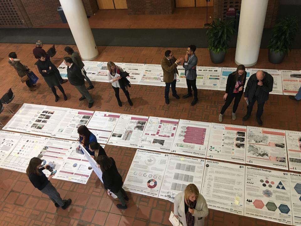
Students, planners, government staff, and others perused posters and engaged with students enrolled in PA 5211: Land Use and Planning at a recent poster session on Connected and Autonomous Vehicles (CAVs) on December 7th. The event, co-sponsored by the Center for Transportation Studies, the College of Design, the Humphrey School of Public Affairs, and the Resilient Communities Project showcased the work of master of urban and regional planning (MURP) students at the Humphrey School. Students worked with RCP’s partner community, Scott County, through a fall-semester course match facilitated by RCP. Students explored scenarios on the implementation of CAVs at various locations in Scott County, and highlighted the role of government in facilitating the relationship between land use and transportation.

Automated vehicles (AVs) operate vehicle steering, acceleration, and braking without human driver input. These vehicles are designed so the driver is not expected to constantly monitor the roadway while operating in self-driving mode. Connected vehicles (CVs) use different technologies to communicate with the driver, other cars on the road, roadside infrastructure, and the "cloud." These technologies improve vehicle safety and efficiency, and reduce commute times.
Source: National Highway Traffic Safety Administration | Image
Student groups analyzed four scenarios for CAVs in Scott County, examining the feasibility and potential for integrating CAV-friendly infrastructure into regionally known sites such as Canterbury Commons and the Minnesota Renaissance Festival, both of which draw large crowds and create a demand for more efficient transportation networks. Additional scenarios students studied included applying AV planning concepts to the MN State Highway 13 corridor for use with road freight vehicles, and the County Highway 16 corridor for school pedestrian crossings.
“The student work is instrumental in developing a professional planning culture that will be ready for the introduction of CAVs in our cities,” said course instructor, Dr. Fernando Burga. Burga is well-seasoned with RCP partnerships, having taught former urban planning and design classes that put students into direct relationship with RCP partner communities needing planning assistance. This year’s match with Scott County marks Burga’s third year as an RCP-affiliated faculty member.
A common acknowledgement across all student projects is how little is known about CAV implementation and how it will fit within—or replace—traditional modes of transportation in both urban and rural communities. “There are still many unknowns about how and where [CAVs] will be deployed, but their future is not a question,” Burga explained. “The application of CAV concepts to concrete case studies not only allows us to imagine possibilities, but also to turn the current theories and debates concerning the future of CAV deployment into grounded and purposeful scopes that engage community members.”
The uncertainty of the future is not lost on Scott County traffic and mobility staff, who are eager to apply students’ ideas in future planning. “As a mobility manager, we need to understand the implications of this type of service on current transit service but also prepare for policy and regulatory impacts,” noted Scott County’s Smart Link Transit Supervisor Alan Hermann, who worked closely with students throughout the semester. Mark Callahan, Scott County traffic engineer, added that the students’ posters will be displayed at meetings with county and city staff, local policymakers, and developers to “enlighten them and to discuss a vision of the future where CAVs play an increasingly more prevalent role.”

Following the project wrap-up, student work will be available online through the University’s Digital Conservancy. Posters will also be displayed on the second floor of the Humphrey building, outside the MURP program office mid-semester.
More photos from the poster session are available here.
Read the Center for Transportation Studies article on the event here.