Article originally published in the January 2016 issue of the University of Minnesota's Center for Transportation Studies' CTS Catalyst
As part of a U of M course last semester, students analyzed access to an elementary and middle school complex adjacent to a busy intersection in Chaska, Minnesota, and made recommendations aimed at helping local agencies improve pedestrian safety and access around the site.
Their work was part of a safe-routes-to-school project sponsored by the Resilient Communities Project (RCP). RCP is an initiative supported by the U’s Center for Urban and Regional Affairs that organizes yearlong partnerships between the University and Minnesota communities. This year’s partnership, with Carver County, includes participation by Chaska and the school district.
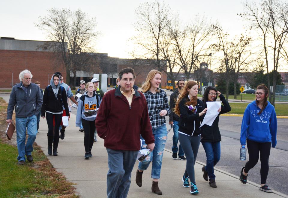
Professor David Levinson incorporated the project into one of his courses: CEGE3201—Introduction to Transportation Engineering. To launch the effort, community partners from Carver County and the City of Chaska visited the classroom. Students then visited the site to understand critical pedestrian and traffic conflict points and applied the “three Es” of Safe Routes to School (engineering, education, enforcement) to recommend improvements.
The northeast corner of the intersection of State Highway 41 and County State-Aid Highway (CSAH) 10 is home to the Chaska Community Center, Chaska Elementary School, Chaska Middle School West, and Chaska Middle School East. Almost none of the students at the site walk to school; most ride buses. A study of nonmotorized facilities completed in 2011 identified a number of potential concerns within a two-mile radius of this site, including numerous pedestrian/bicycle crashes and high traffic volumes and speeds, says Bill Monk, Chaska city engineer.
The students delivered a presentation and final reports in December with key recommendations (see sidebar below). Monk, the project lead, says that Chaska, School District 112, and Carver County plan to use the recommendations to determine ways to improve the pedestrian environment at the complex while meeting traffic flow and safety goals. Results will also be used to inform Carver County’s CSAH 10 corridor study.
RCP’s goal is to provide the community with efficient access to the resources and expertise of the University, offer students a professional opportunity to apply their knowledge and skills to a real-world project, and provide faculty with ready-made applied-learning opportunities for the classroom. Mike Greco is the RCP director.
For more information about the RCP–Carver County partnership, please visit the RCP website.
Students’ key recommendations:
- Alter bus and car routes and the location of parking areas on the site.
- Implement protected left-turn lanes for cars, pedestrian crossing countdown timers, and well-marked crosswalks; eliminate rounded corners that encourage drivers to turn at high speeds; time traffic signals to allow pedestrians a head start.
- Add sidewalks and paths, widen existing narrow sidewalks, add lighting along sidewalks, reduce traffic speeds during school hours, and add pedestrian refuges with pedestrian-activated traffic signals.
- Educate parents and other users of the school complex about the coming changes.